February 9, 2024: I start my trip up the St Johns River from Sisters Creek, with stops at Arlington Marina, Ortega River Anchorage, Port 32 Marina, and Green Cove Springs.
I slept well, got up early, and did all my morning chores. The wind was calm and the water was very smooth. The tide was coming in at 8 AM when I departed. It was a short cruise on the ICW to the south before I turned in at the St Johns River.
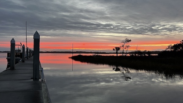
Jacksonville treated me to a nice sunrise before I left the dock.

I shot this photo from the glassy smooth ICW, looking back at the dock at Sisters Creek. The sailboat there was my neighbor overnight. There were lots of white pelicans across the creek the whole time I was there.
First Leg: ICW to Arlington Marina
Although most rivers — at least in the northern hemisphere — generally run from north to south, the St Johns River runs from south to north. So going “up” the river meant going south, which was a little difficult to wrap my head around at first. But first, going upriver meant going west, away from the ICW and coast.
I don’t know if it was the time of day or I was just lucky, but there was no big commercial traffic on the river. Yeah, I passed an outbound tugboat right after getting on the river, but that was it. The previous afternoon, I’d crossed the river about a half mile behind an inbound container ship.
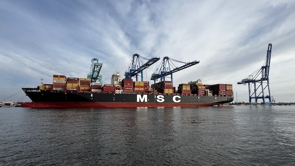
I’m pretty sure this was the container ship that came into the St Johns River the previous day, just as I was crossing the river on the ICW. This is a wide angle shot; I passed pretty close to it.
By some miracle, the tide was with me and I made good time at a relatively low power setting. By about 9:30 AM, I reached Arlington Marina. I called repeatedly on channel 16 as I approached but got no answer. I was abeam the marina, trying to figure out where to go for fuel when two guys came out of a hut and walked onto one of the empty docks. I saw the Fuel sign with an arrow through my binoculars and glided over. By that time, the tidal current was mostly slack so it was an easy docking.
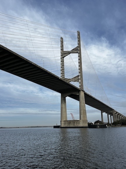
One of the bridges I went under as I passed through the city of Jacksonville, FL.
It wasn’t one of those full-service marinas. It was basic, with few transient spots and a boat lift. I could imagine a lot of boat work being done there. I topped off my tank with diesel at $4.20/gallon, paid, and got a push off the dock. I had to back out part way to get enough room to turn around and leave.
Second Leg: Arlington to the Ortega River Anchorage
From there, I continued up the St Johns to its confluence with the Ortega River. Along the way, I cruised through downtown Jacksonville, past all the commercial docks, and past the few free docks on Jacksonville’s waterfront. There was hardly any traffic. I think I passed an outbound sailboat with its sails down.
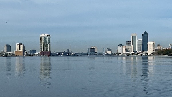
A look back at the Jacksonville skyline from near the mouth of the Ortega River.
My main reason for going up the Ortega was to visit with some friends of mine at Port 32 Marina. I’d met Kenny and Rhonda on my second day on the Loop back in October 2022 in Peoria, IL. They were full-timers on a big Kadey-Krogan and although they traveled most of the year, they spent their winters at that marina in Jacksonville. I wasn’t sure if I’d see them again and, since I was in the area, I wanted to visit.
I called for the Ortega River Bridge to open, waited a short while, and slipped through. Then I made my way to where a bunch of boats were anchored east of the marina. I dropped my anchor in about 8 feet of mostly still water, played out all 50 feet of chain, and backed down gently. When I was sure it was holding, I shut down.
A Lunchtime Visit with Friends
I launched my dinghy and went into the marina, tying up at the end of Kenny and Rhonda’s slip. I got a tour of their humungous (to me) boat — which I could definitely live on — saw their elusive cat for the first time, and walked with them and my pups to lunch. We ate outdoors at Hightide Burrito Co. It was one of three restaurants right there and it was good. There’s also a Publix nearby; I could have picked up anything I needed but I didn’t need anything.
By this time, I’d pretty much decided that instead of spending the night at the anchorage, I’d continue on to Green Cove Spring. That would get me back on my planned schedule. There was nothing terribly compelling about the anchorage and my visit was done. It was still early in the day. Best to move on.
So I dinghied back to the boat with my pups, pulled up the anchor, and departed. It was a short wait for the bridge and then I was on my way.
Third Leg: Ortega River to Green Cove Springs
Throughout this time, the water remained very calm and the current was not an issue. The river was very wide and it reminded me, oddly, of my trip on the Potomac back in October when I buddy-boated with Jason and then came back down the river alone. There was still very little traffic and nothing remarkable along the way.
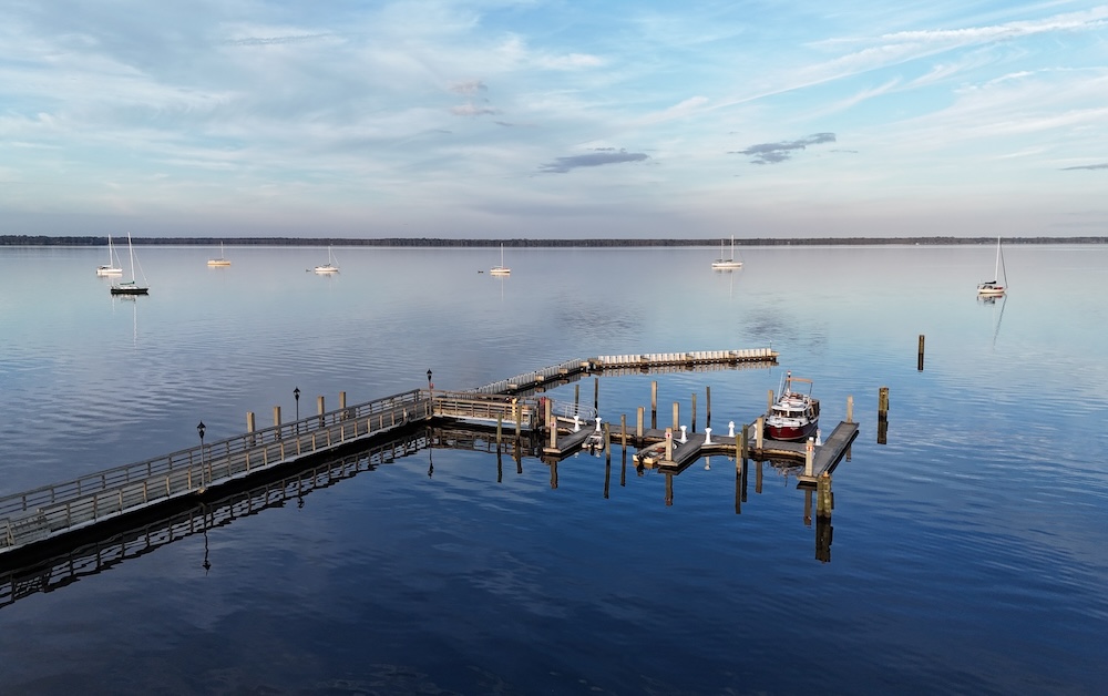
The only boat at Green Cove Springs was a dinghy parked in one of the smaller slips. I slid into one of the wider outside slips and tied up on the starboard side. It wasn’t until I got out of the boat that I noticed the signs saying the power pedestal was down for maintenance. That didn’t really matter much to me. I’d cruised long enough that day to fully charge my engine battery and all four house batteries. The solar panel on the roof would add a bit more power as my refrigerators used it. I realized that I could have plugged in at a functional pedestal — my cord would reach — but it really wasn’t worth the bother.
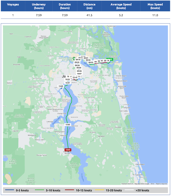
Here’s my Nebo log for February 9, 2024. Download a PDF log file with more info. Track Do It Now on Nebo.
At Green Cove Springs
I got a pay envelope, ripped off the tab, and put a $20 bill into the envelope. I stuffed it in the self-pay slot. Then I put my pups on leashes, locked the boat, and walked up into town.
Town was small and there wasn’t much to see or do. There was, however, a very large swimming pool at the park near the waterfront. I didn’t realize it until the next day, but the pool is spring fed and the overflow is what made up the pretty little creek that ran through the park and into the river. The pool is apparently closed for the winter, which is unfortunate. I would have gone for a swim if the water was warm enough.
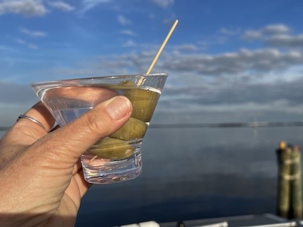
Martini time up on the command bridge.
I had a martini up on my command bridge at sunset, flew my drone briefly, and then made some dinner. A power boat about the same size as mine pulled in and parked on the T-head for the slips. Three people got out and went into town. They returned just before I went to bed and drove off.
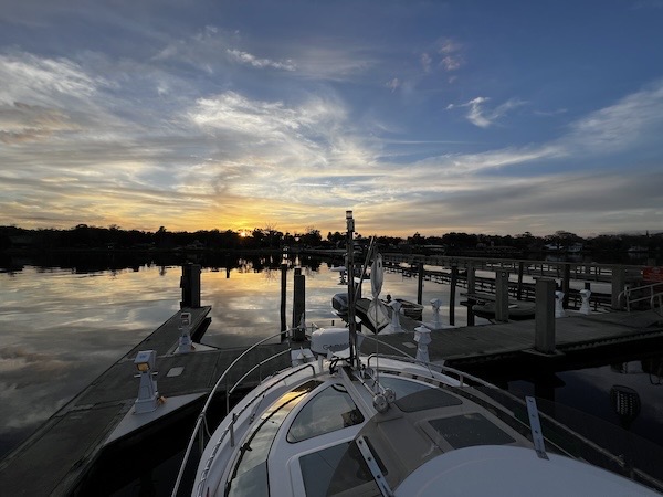
A wide angle view of sunset from Do It Now’s command bridge.
I had a nice, restful night.
