I help make our route more visual by adding images generated by the Nebo app, as well as links to the actual Nebo Logs.
Just a quick note to let readers and followers know that I’ve begun adding Nebo-generated map images to blog posts when available. I’ll also link to the actual Nebo report PDF for that day in case you want more detail.
In the few instances where I don’t have a Nebo report, I’m creating images with Google Maps to show our route.
Nebo, by the way, is a boat logging app that, when activated at the start of a cruising day, tracks me as I travel. You can follow me pretty much live as I’m cruising by clicking this link.
Nebo isn’t perfect so there are sometimes gaps in the service or duplicate boats. I’m working on resolving that problem by installing Nebo hardware, which accesses satellites to share data instead of relying on smartphone connections. Until then, the app is what I have and, despite it’s shortcomings, I highly recommend it for anyone who goes out on a boat and wants to track where they’ve been with as little effort as possible.
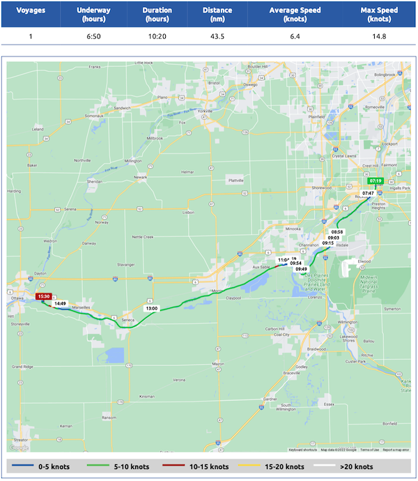
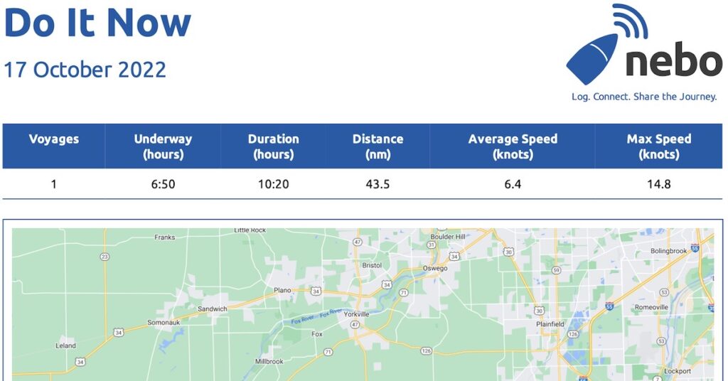
Here’s an example image from October 17th’s cruise:

Here’s the Nebo-generated map for October 17, 2022. Download a PDF of the full report with more info.


The link to track your boat on Nebo doesn’t work. Have you stopped using Nebo for some reason?
I just saw this comment. Sorry about the delay!
I’ve been off the boat for 5 months. Apparently, when there’s no activity for about a month, Nebo just removes the boat. You should see it again on Saturday! Let me know if you don’t.